


Over several months I explored Whittlesea Mere in Fenland. Once the largest inland body of water, it was drained by Dutch specialists in late 1800’s to create 3000 acres of rich agricultural land – all under sea level. The way of life prior to draining focused on eel trapping, foul shooting and fishing, all done from small boats called Punts.
This history, the geography and inland drainage led me to describe the area as being half land half water. Which, like the materials and approaches employed in the work created in response, has the potential to collapse or rapidly shift at any moment.
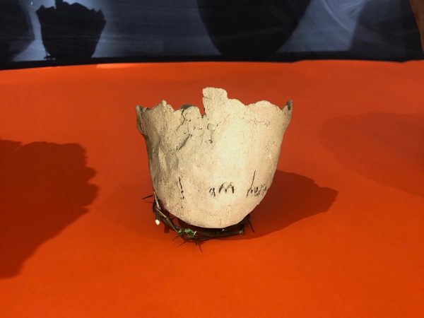
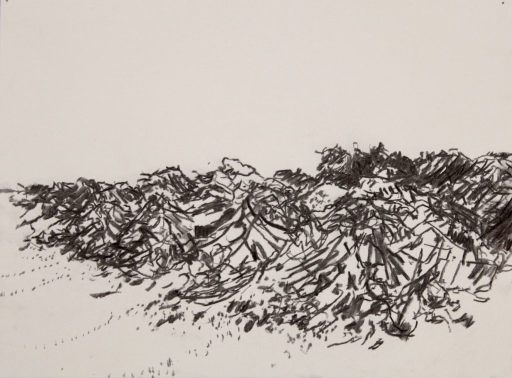
The drawing and clay shells were both installed on sites in the Mere. The clay shells were pressed from a fossil found on the fields close by.
All the seas are fields
4 drawings 76cm x 56cm 2018
3 drawings 21cm x 26 cm. 2019
Funded by
Arts Council England